Drainage & Flooding
Surface water drainage
A comprehensive sustainable surface water drainage strategy has been developed for the site to ensure that rainwater can be safely managed as part of the development and that the proposals do not increase flood risk elsewhere.
The strategy has been prepared in accordance with the National Sustainable Drainage Systems (SuDS) Standards, National Planning Policy Framework (NPPF) and Planning Practice Guidance (PPG), together with the drainage requirements of Solihull Metropolitan Borough Council as the Lead Local Flood Authority.
As the site is currently undeveloped greenfield land, an important principle of the strategy is that the development should not result in rainwater leaving the site any faster than it does today. Surface water runoff from the development will therefore be restricted to the equivalent greenfield runoff rate, helping to ensure there is no increased flood risk downstream.
Detailed ground testing has also been undertaken to understand whether rainwater could be drained naturally into the ground. This found that infiltration drainage would not be suitable due to the ground conditions and groundwater levels in parts of the site.
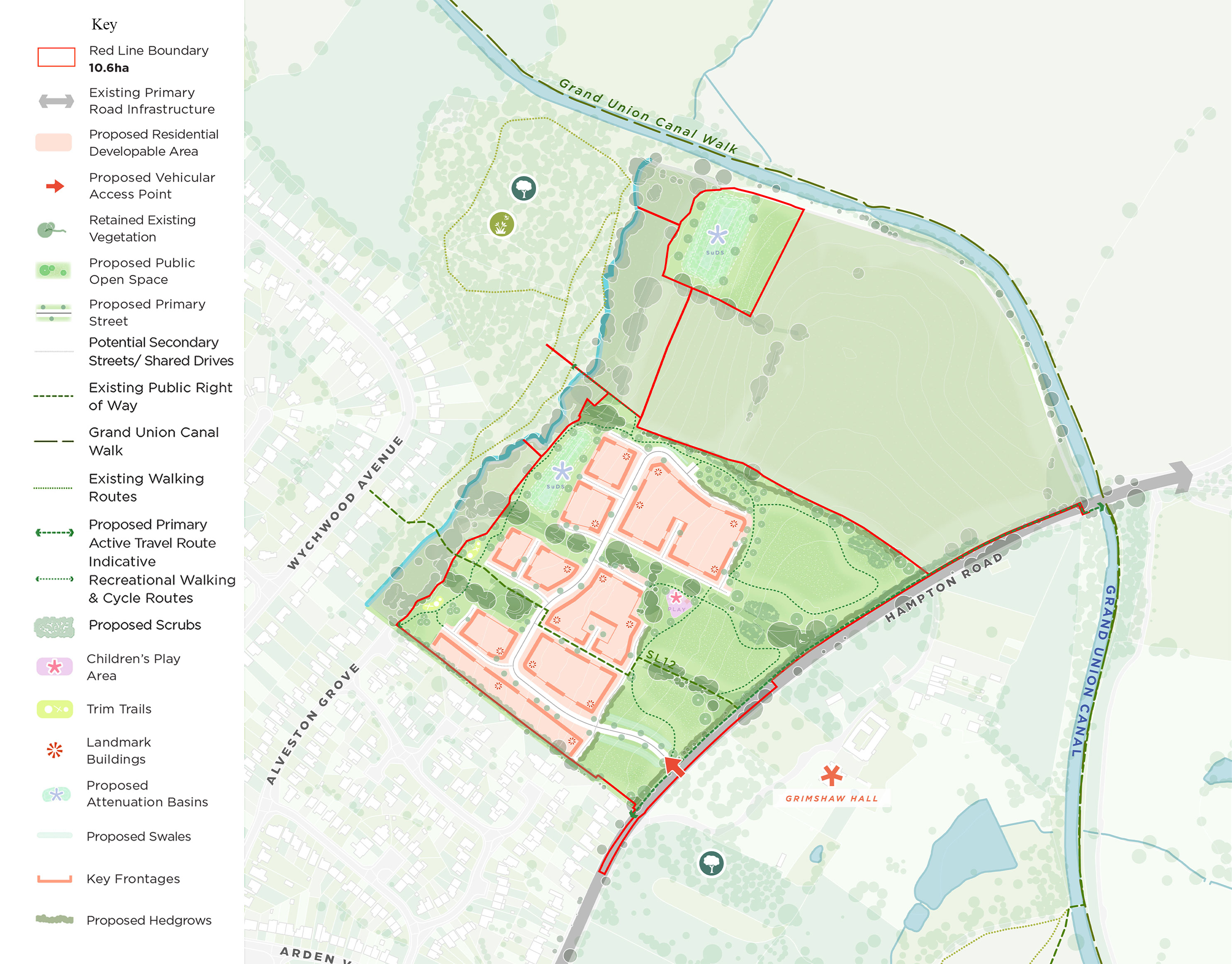
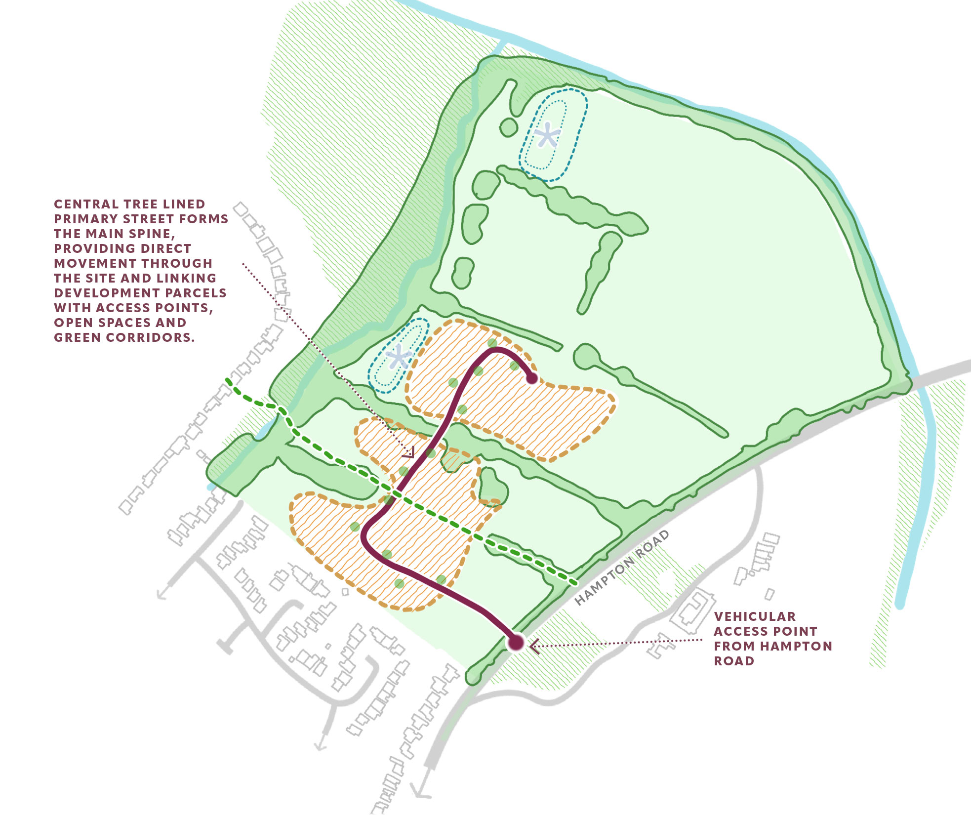
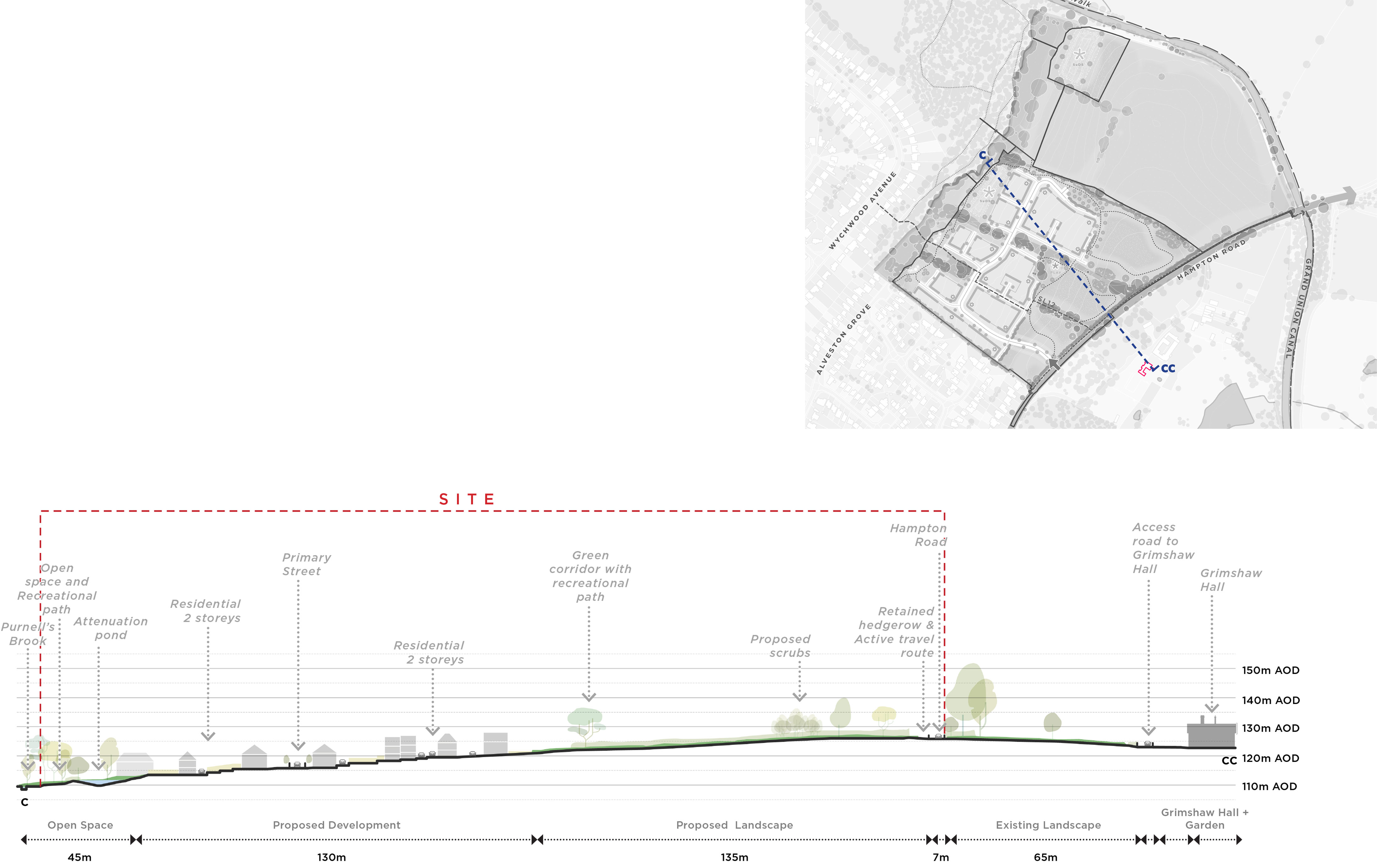
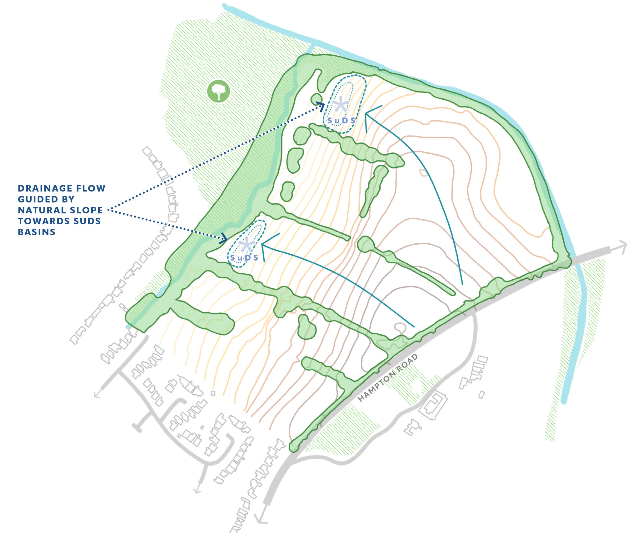
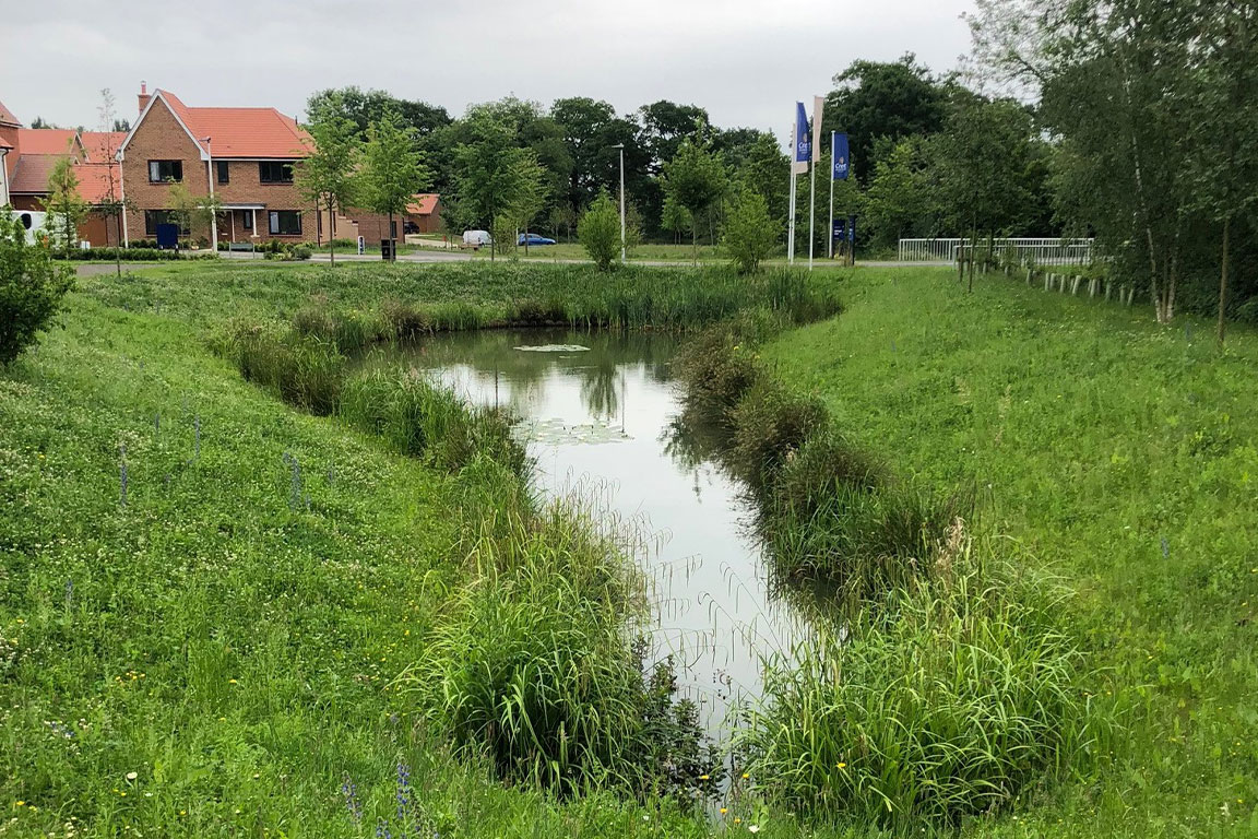
Instead, rainwater from roofs, roads and other hard surfaces will be collected through a drainage network and directed to two landscaped attenuation basins, positioned at natural low points within the site. These will temporarily store water during periods of heavy rainfall before releasing it slowly and at a controlled rate into Purnell’s Brook.
Importantly, the drainage system has been designed to accommodate an extreme 1 in 100-year rainfall event, together with an additional 40% allowance for the future effects of climate change.
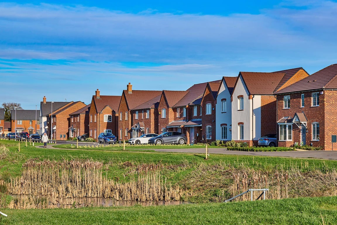
The strategy will incorporate a range of Sustainable Drainage Systems (SuDS), including attenuation basins, permeable paving, swales and other planted drainage features where appropriate.
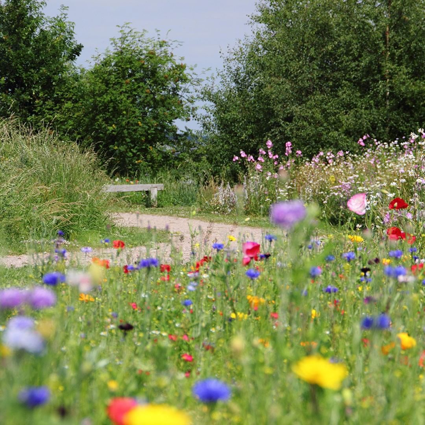
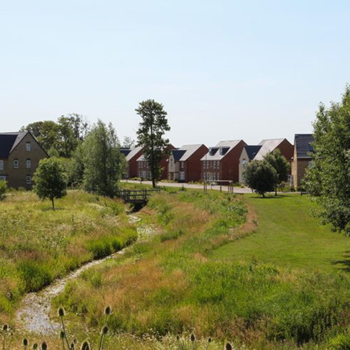
These features do more than simply manage rainwater. They can also help to improve water quality, create new habitats and support biodiversity, while forming an attractive and integrated part of the landscape and open spaces within the development.
Overall, the drainage strategy provides a sustainable and carefully controlled approach to managing surface water, designed around the specific characteristics of the site and in accordance with national and local requirements.
Foul Water Drainage
Wastewater from the new homes will be discharged to the existing Severn Trent Water public foul sewer network.
As part of the drainage assessment, an enquiry has been made to Severn Trent Water, which has confirmed that there is a suitable connection point close to the site and that the existing network has sufficient capacity to accommodate the anticipated wastewater flows from the development.
The new foul drainage network will be designed to operate primarily by gravity, allowing wastewater to flow naturally to the existing sewer network wherever possible. This will be designed in accordance with Severn Trent Water's requirements and relevant drainage standards.
As the proposals progress, further detailed design work will confirm the precise sewer levels, routes and connection arrangements. If it is found that part of the development cannot be served by gravity drainage, an appropriately designed pumping solution would be considered.
The final drainage arrangements will therefore be developed in consultation with Severn Trent Water, ensuring that wastewater from the development can be managed safely and effectively.
Flood Risk
A detailed Flood Risk Assessment has been undertaken to understand the potential sources of flooding affecting the site and to ensure that the development can be delivered safely without increasing flood risk elsewhere.
The vast majority of the site lies within Flood Zone 1, which is defined as land with the lowest probability of river flooding. A small area alongside Purnell's Brook is affected by higher flood risk, but the development has been carefully designed so that all new homes are located outside Flood Zones 2 and 3.
Detailed flood modelling of Purnell's Brook has been undertaken to understand how the watercourse could behave during periods of significant flooding. This assessment has also considered the future effects of climate change and the potential impact of culverts becoming blocked.
The modelling confirms that the proposed residential development can be accommodated safely, with all built development located outside the modelled flood areas.
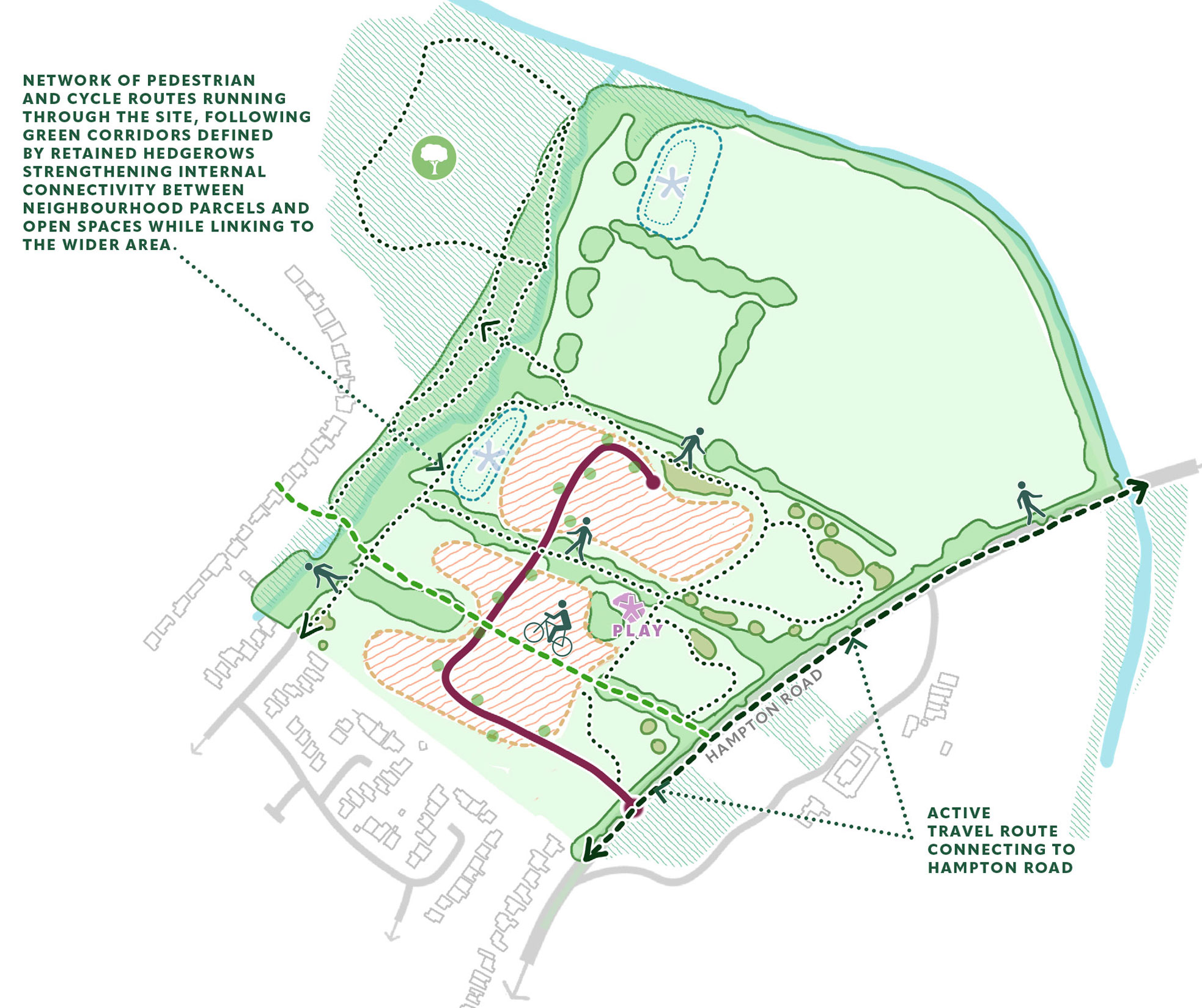
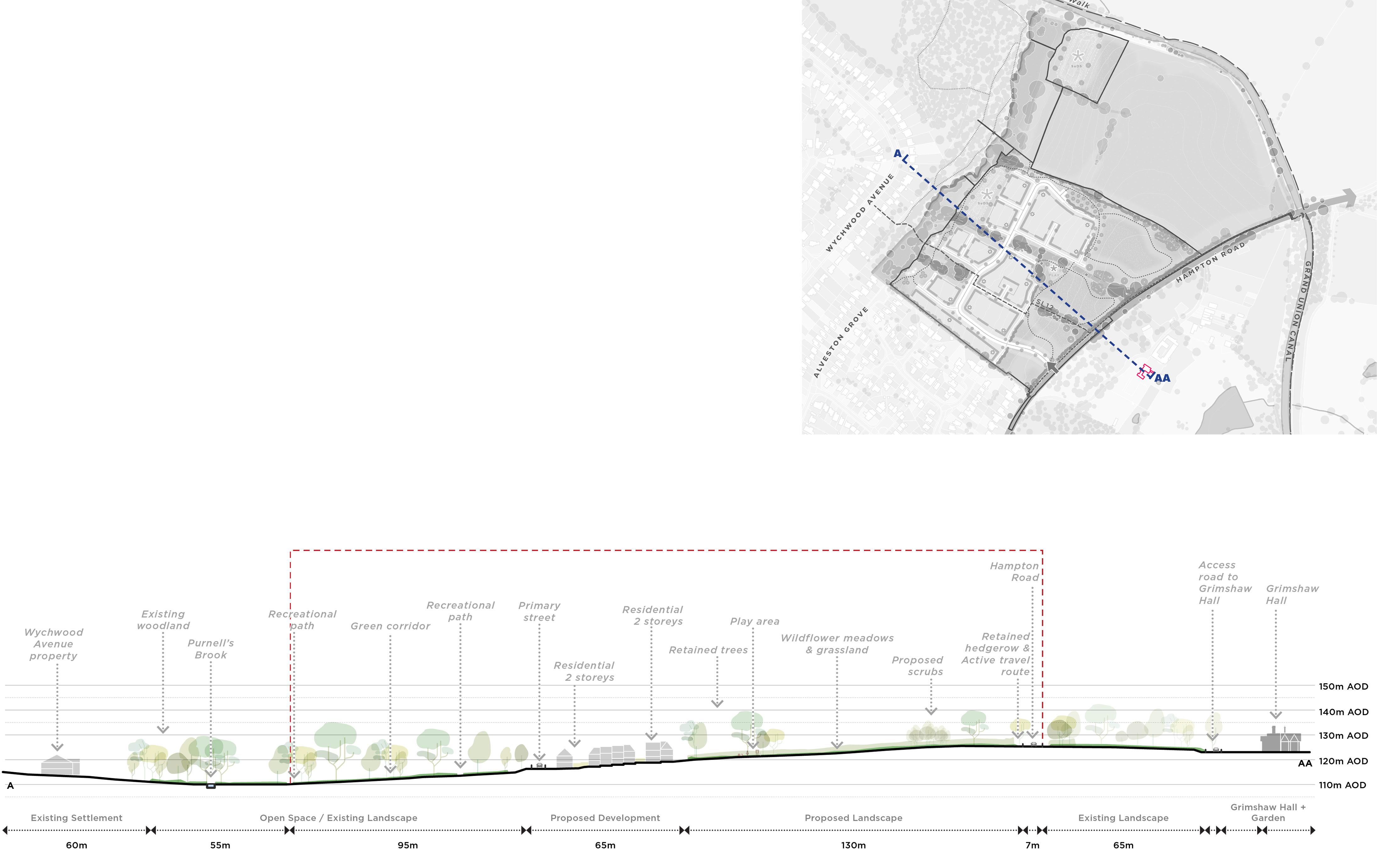
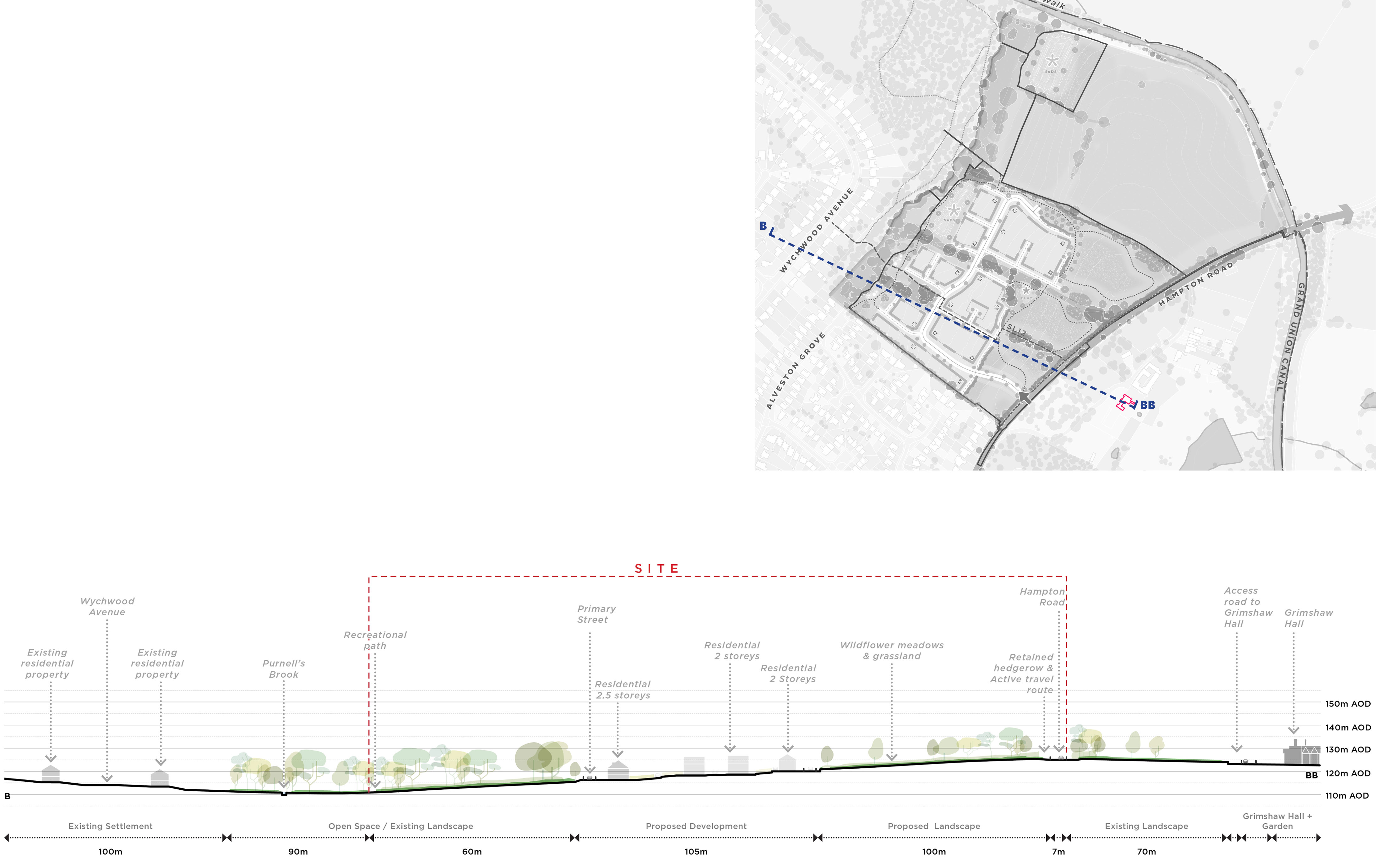
Potential surface water flooding has also been assessed. The majority of the site is at very low risk of surface water flooding, and existing routes through which water naturally flows across the site will be retained within landscaped green corridors. This will help ensure that water can continue to move safely through the site during periods of particularly heavy rainfall.
The development has also been designed to remain safe throughout its lifetime, taking account of the future effects of climate change. Finished floor levels for the new homes will be set at appropriate levels, while rainwater from the development will be managed through the proposed sustainable drainage system before being released at a controlled rate into Purnell's Brook. Taken together, the Flood Risk Assessment, detailed modelling and proposed drainage measures demonstrate that the development can be delivered safely and without increasing flood risk elsewhere, in accordance with national and local planning requirements.





.svg)